Two robots can follow the same lawn edge very differently: one may track it cleanly in daylight, while the other stays steadier under trees or near plain walls. This is a common source of confusion when vSLAM vs LiDAR appears on product pages without explaining how lighting, texture, and obstacles change real navigation.
This article explains what each system measures, how their mapping accuracy and environmental limits differ, and when each option is more suitable. It also covers sensor cost, maintenance, power use, and why the complete navigation stack matters more than a single technology label.
What Is vSLAM?
To understand the comparison, begin with the information each system uses to locate itself. vSLAM turns changing camera images into a map and a continuous estimate of movement.
vSLAM stands for visual simultaneous localization and mapping. One or more cameras capture frames while software tracks stable features such as corners, paving lines, fence posts, texture changes, and object outlines. By comparing how those points shift between frames, the system estimates the robot's position and updates a map at the same time.
Performance depends on visual quality. A yard with varied surfaces, defined borders, shrubs, and fixed structures gives the camera more landmarks than an open lawn with uniform grass. Strong glare, deep shade, motion blur, dirty lenses, or repeated-looking areas can reduce tracking confidence, so many outdoor robots combine vSLAM with wheel odometry, inertial sensing, RTK, or obstacle cameras.
What Is LiDAR SLAM?
LiDAR SLAM solves the same mapping problem through measured distance rather than visual recognition, making geometry the main reference for locating the robot and identifying nearby surfaces.
LiDAR sends laser pulses and measures the time each pulse takes to return. Those readings form a point-based picture of walls, trees, furniture, edges, and other surfaces. SLAM software compares successive scans to estimate movement while building or updating the map.
Because LiDAR does not depend on visible color or texture, it can work well in low light and in spaces with plain, repetitive surfaces. Outdoor performance still depends on system design: rain, dust, reflective glass, wet foliage, thin objects, moving branches, and sensor contamination can alter returns. Sensor placement, cleaning access, processing, and fusion with other data are therefore part of the real evaluation.
vSLAM vs LiDAR: What Are the Key Differences?
Once the measurement method is clear, compare how each system behaves across the factors that affect daily navigation, not just the sensor name listed in a specification table.
Sensors and Data Inputs
vSLAM reads image features, so it captures both geometry and visual context: edges, color contrast, surface texture, and recognizable objects. It needs stable details that can be matched across frames. LiDAR records direct range measurements and creates a geometric point cloud, which is useful when surfaces have little texture. Cameras provide richer scene information; LiDAR provides more direct distance data, but neither sensor interprets the environment reliably without good software.
Mapping and Positioning Accuracy
vSLAM estimates motion by matching landmarks between images. Its position can drift when features disappear, repeat, or blur. LiDAR SLAM aligns successive distance scans, so it often holds wall and obstacle geometry more consistently in dim or visually plain areas. In outdoor robots, accuracy also depends on wheel odometry, inertial sensors, RTK, calibration, and recovery logic. Compare repeatability around boundaries and obstacles, not a single best-case accuracy number.
Lighting, Obstacles, and Environmental Limits
Lighting directly affects vSLAM. Deep shade, evening operation, glare, fast transitions between sun and shadow, fogged lenses, and uniform turf can reduce usable visual features. LiDAR is less dependent on ambient light, although rain, dust, reflective surfaces, wet plants, thin chair legs, and moving branches can weaken or confuse returns. Test the route where the robot will actually operate, especially beneath trees, beside dark fences, and near glass or metal structures.
Cost, Hardware, and System Complexity
Camera modules are generally lighter and less expensive, and their power demand can be lower, although processing several image streams still requires capable hardware. LiDAR adds a laser unit, protective housing, calibration, cleaning, and often greater system cost. The maintenance question matters outdoors: check how easily lenses or scanners can be cleaned and protected. Battery runtime depends on the entire robot, including motors, terrain, speed, computing load, and sensor fusion-not the navigation sensor alone.
When Should You Choose vSLAM or LiDAR?
When selecting a robot lawn mower, match the navigation method to the conditions that dominate the operating area: light, texture, obstacles, route complexity, and the need for repeatable boundaries.
Choose vSLAM if:
- The lawn receives reliable daylight.
- Fences, paths, flower beds, shrubs, and other fixed landmarks are easy to identify.
- The area contains varied textures and clearly defined edges.
- The mower only passes through short sections of shade.
- The system includes lens protection, odometry, and reliable route-recovery functions.
Choose LiDAR SLAM if:
- The lawn includes shaded, dim, or visually repetitive areas.
- Walls, structures, and obstacles provide clearer geometric information than visual detail.
- The route passes beside plain surfaces or through similar-looking sections.
- Stable mapping is needed under changing light conditions.
- The sensor is designed to handle outdoor factors such as dust, rain, reflective surfaces, and thin obstacles.
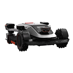
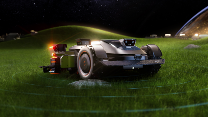
For large lawns with changing light, tree cover, narrow passages, and multiple zones, sensor fusion can provide steadier navigation than a single sensing method. The Sunseeker Elite X9 combines nRTK with VSLAM 2.0 through AONavi 2.0, while 360° OmniSight supports boundary recognition and obstacle detection. This integrated approach helps the robotic mower map wire-free routes and maintain organized coverage across varied lawn sections.
Conclusion
vSLAM and LiDAR solve the same navigation problem with different evidence: one interprets visual features, while the other measures geometry directly. Choose based on the hardest conditions in the operating area, then verify the complete system under shade, glare, clutter, and changing surfaces. For outdoor robots, dependable navigation comes from sensor fusion, calibration, software, and recovery behavior working together. A practical field test is more useful than choosing the technology with the strongest label.
FAQs
How does sensor choice affect robot mower battery runtime?
vSLAM can use lighter camera hardware, while LiDAR adds a laser scanner and related processing. Even so, sensor type alone does not determine runtime. Drive motors, slope, grass density, mowing speed, battery capacity, route efficiency, and onboard computing usually have a larger combined effect. Compare manufacturer runtime tests under conditions similar to your property.
Can vSLAM robots navigate successfully in the dark?
Standard camera-based vSLAM needs enough visible detail to track features, so performance usually falls in darkness or very low light. Systems may extend operation with infrared illumination, low-light cameras, or fusion with RTK, odometry, and other sensors. Check whether night navigation is explicitly supported and test shaded or evening routes before relying on it.
What environmental obstacles can confuse a LiDAR sensor?
LiDAR returns can be weakened or distorted by heavy rain, airborne dust, reflective glass, wet vegetation, shiny metal, thin wires or chair legs, and moving branches. A dirty or blocked sensor window also reduces consistency. Strong systems use filtering, multiple sensors, and obstacle-classification software, so evaluate the complete robot rather than the scanner alone.



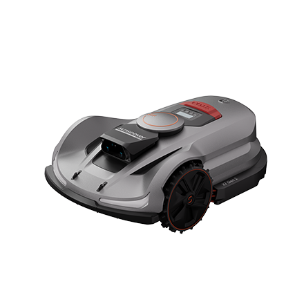 X7 / X7 Plus Gen 2High-performance mowing for lawns up to 1.5 Acres.USD 2499 / USD 2999
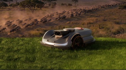 Learn More
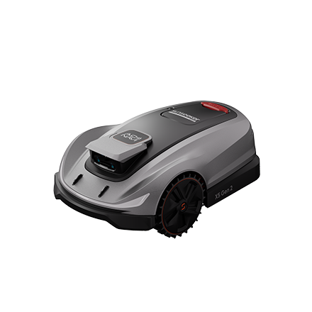 X5 Gen 2Powerful and versatile, for lawns up to 0.5 Acre.USD 1999
 Learn More
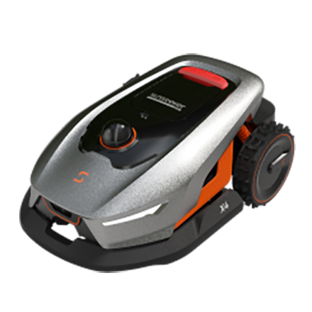 X4Smart LiDAR mower built for effortless, boundary-free lawn care.USD 1399
 Learn More
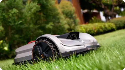
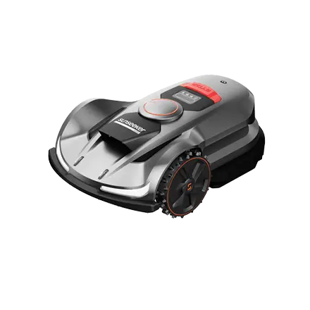 X7 / X7 Plus / X7 ProPower Through Every Slope.
 Learn More
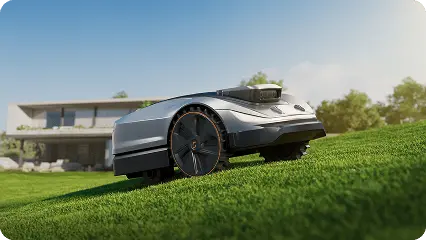
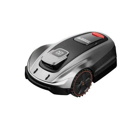 X5Smart Vision. Effortless Mowing
 Learn More