A robot mower can look perfectly accurate in the middle of an open lawn, then behave differently beside a tall hedge, under a tree canopy, or close to a house. The reason is often navigation: satellite positioning and camera-based mapping respond to those surroundings in different ways.
Understanding RTK VSLAM systems makes those differences easier to judge. The sections below explain what each technology contributes, where confidence can drop, and why combining position and visual context can be useful on mixed residential lawns.
What RTK Navigation Does for a Robot Mower
RTK gives the mower a fixed position reference instead of relying on ordinary consumer GPS alone. Its value is easiest to see where clean satellite visibility and reliable correction data are available.
RTK stands for Real-Time Kinematic positioning. A mower receives GNSS signals from satellites and also receives correction data from a reference source whose position is already known. The mower compares those measurements and resolves carrier-phase information, which can reduce position error to the centimeter range under good conditions. That level of accuracy is useful for virtual boundaries, parallel mowing lanes, repeatable return paths, and clean coverage near mapped edges.
The correction source may be a local base station or a network service, depending on the mower design. RTK still needs enough usable satellite signals at the rover. Dense foliage, tall walls, nearby buildings, and reflective surfaces can block or distort signals. A mower may then move to a lower-confidence position solution until conditions improve. RTK is therefore a strong absolute-positioning tool, but the lawn environment still affects how consistently that precision is available.
What VSLAM Navigation Does for a Robot Mower
VSLAM uses the mower’s view of the lawn to estimate motion and build a map of recognizable surroundings. This gives navigation another source of local context when satellite geometry becomes less favorable.
VSLAM means Visual Simultaneous Localization and Mapping. Cameras capture repeated image frames, and software tracks visual features such as corners, texture changes, edges, and stable objects. The system estimates camera position and orientation while building a map of those features. As the mower moves, new observations are matched against earlier ones so the mower can estimate how its pose has changed.
Because VSLAM is based on visual information, it can remain useful beside structures or beneath partial tree cover where GNSS reception is weaker. Its own conditions matter, though. Feature-poor surfaces, heavy glare, darkness without suitable sensing, moving objects, mud on lenses, or a lawn scene that changes substantially can reduce tracking quality. VSLAM is also not the same thing as obstacle recognition. A mower may use the same cameras for both jobs, but localization and object detection are separate software tasks.
How RTK and VSLAM Compare in Real Lawn Conditions
The technologies solve different parts of the navigation problem, so a useful comparison looks at specific lawn conditions instead of treating one system as a simple replacement for the other.
Absolute Positioning and Open-Sky Accuracy
RTK has the clearer advantage for absolute position in open areas. With strong satellite visibility and valid corrections, the mower can tie its location to a geographic coordinate frame with centimeter-level precision. That supports repeatable virtual boundaries and straight, evenly spaced routes across large open sections. VSLAM estimates position relative to visual features in its map. It can be highly useful locally, but visual estimates can accumulate drift over distance until the system recognizes earlier features or receives another absolute reference.
Performance Under Trees and Near Buildings
Tree canopies and walls can reduce satellite visibility and create multipath, where GNSS signals reflect before reaching the receiver. In those zones, an RTK solution may take longer to fix or temporarily lose its highest-precision state. VSLAM can use nearby visual structure instead, provided the camera still sees stable, distinctive features. A tree trunk, fence line, building edge, or textured path can help visual tracking even when the sky view is partly blocked.
Mapping and Boundary Repeatability
For a wire-free mower, the practical goal is not only knowing its location once; it needs to return to the same mapped boundary repeatedly. RTK anchors a map to an external coordinate system, which supports strong long-term repeatability when correction quality is stable. VSLAM ties position to observed features and can reinforce local map consistency. A fused system can use RTK for the global frame and visual localization for short sections where satellite confidence drops.
Obstacle Awareness Versus Positioning
RTK tells the mower where it is, but it does not identify a chair, toy, branch, pet, or person in the mowing path. Those tasks require separate sensors and perception software. VSLAM uses camera imagery for localization, yet that still does not automatically mean the system understands every object in the scene. Robot mowers often combine navigation with dedicated vision, depth sensing, ultrasonic sensors, or other obstacle-detection methods so route accuracy and obstacle awareness can work together.
Recovery When One Navigation Source Loses Confidence
A practical mower should respond smoothly when one input becomes less reliable. If RTK confidence falls near a building, visual localization can help estimate short-term motion and keep the mower aligned with its mapped route. If the visual scene becomes hard to track, a strong RTK fix can re-anchor position. Sensor fusion software decides how much weight to give each input, and it can slow, pause, or re-localize instead of letting a weak estimate push the mower across a virtual boundary.
When a Hybrid RTK-VSLAM System Makes More Sense
A hybrid system is most useful when a lawn combines open space with areas where satellite visibility changes. RTK provides stable positioning across open ground, while visual navigation can help maintain continuity near trees, buildings, hedges, and other signal-obstructed sections.
- Open lawns with shaded or obstructed edges:RTK works well where the sky view is clear, while VSLAM can help the mower stay oriented near tree lines, walls, pergolas, or dense landscaping.
- Narrow passages and areas close to structures: Visual references become more useful where buildings or fences reduce satellite visibility. The mower can use nearby features to support positioning instead of relying only on GNSS reception.
- Large or multi-zone properties:A mower may move repeatedly between open lawns, side yards, shaded sections, and connecting corridors. Combining global positioning with visual localization helps maintain a more consistent map across those changing conditions.
- Lawns with changing signal conditions: Tree cover, seasonal foliage, parked objects, and nearby structures can affect either satellite reception or the visual scene. Using more than one navigation source gives the mower another reference when one becomes less reliable.
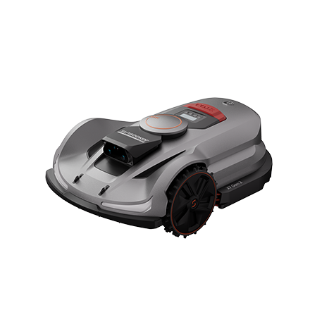
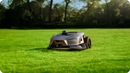
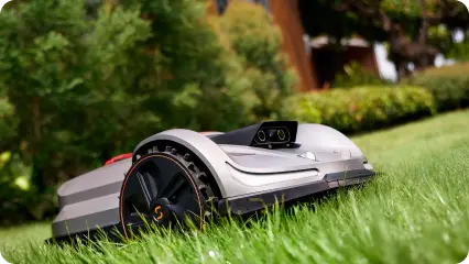
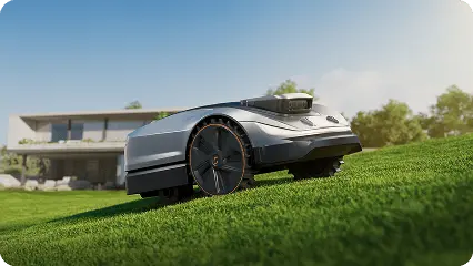
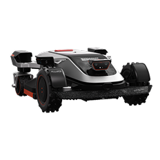
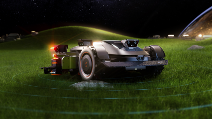
Some advanced mowers combine RTK and visual localization rather than relying on a single navigation source. The Sunseeker Elite X9, for example, uses Sunseeker’s AONavi™ system, which combines RTK and VSLAM technologies, together with the 360° OmniSight™ scene system. This multi-source approach supports stable mapping and planned mowing across open areas, hedge edges, narrow passages, and tree-covered sections.
Conclusion
RTK is strongest when a robot mower needs a precise absolute position and repeatable virtual boundaries in good satellite conditions. VSLAM adds local visual tracking that can support navigation near trees, buildings, and other areas with a reduced sky view. On mixed lawns, using both sources gives the mower more ways to confirm its location and recover when confidence changes. A modern robot lawn mower can then maintain planned routes with less dependence on a single positioning method.
FAQs
What is VSLAM and how does it work?
VSLAM is Visual Simultaneous Localization and Mapping. A camera captures the surroundings while software tracks stable visual features across frames. It estimates the camera’s movement and orientation at the same time it builds a map. Later observations can be matched to that map so the robot can localize itself as it continues moving.
What happens if a robot mower loses GPS or RTK signal?
The result depends on the mower’s navigation design. A hybrid model may continue for a short period using cameras, inertial sensors, wheel odometry, or other local positioning inputs. If confidence falls too far, a well-designed mower can slow, pause, or re-localize before resuming. Strong satellite reception later allows the position estimate to be anchored again.
Does RTK work under trees?
RTK can work under light or partial tree cover, but dense leaves and branches may weaken or block satellite signals and increase multipath. Performance varies with canopy density, satellite geometry, antenna quality, and the surrounding structures. Hybrid visual navigation is useful in these areas because it can provide local position information while the RTK solution is less certain.




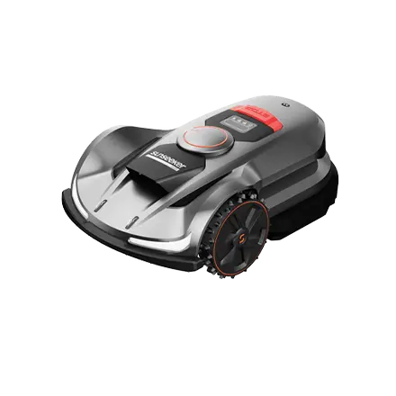
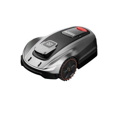
 X7 / X7 Plus Gen 2High-performance mowing for lawns up to 1.5 Acres.USD 2499 / USD 2999