A multi-zone robot mower should support the number of working areas your yard needs, navigate the passages between them, store or edit maps clearly, and leave enough coverage margin for real mowing conditions. Disconnected lawns may need separate maps or manual transfers instead of ordinary zone scheduling.
A front lawn, side strip, backyard, and shaded garden may belong to one property but behave like four different mowing jobs. Passages can be narrow, some areas may be disconnected, and each zone may need its own schedule or map rules. That is why multi-zone capability is more than a zone-count specification. This guide looks at navigation between areas, coverage, map handling, cutting width, scheduling, and current Sunseeker options for small, medium, and large multi-zone yards.
What Should You Consider Before Buying a Multi-Zone Robot Lawn Mower?
A multi-zone mower has to manage the property as a connected routing problem, not simply cut each lawn section well in isolation. The yard layout should therefore drive the buying criteria.
Number of Supported Mowing Zones
Multi-zone capacity matters when a yard has front and back lawns, side strips, islands, or separate work areas. The relevant question is not simply the maximum count but how zones are created, edited, linked, and scheduled. A mower that supports many zones but makes passage setup difficult can still be frustrating in a complex property. Map the yard on paper first and count true mowing areas, corridors, and no-go regions. Leave room for future changes such as a new garden bed or play area so the system does not start at its practical limit.
Path and Narrow-Passage Navigation
A multi-zone mower must travel between mowing areas as reliably as it cuts inside them. Measure the narrowest passage at ground level and include clearance for shrubs, curbs, edging, and wheel position. Navigation can become difficult when a corridor is shaded, bordered by walls, or visually repetitive. Wireless boundary systems should be tested for route stability in those transition areas. If the mower must cross paving, confirm that the surface is level enough and permitted by the product instructions. A failed transfer wastes more time than a small difference in maximum mowing speed.
Total Lawn Coverage
Coverage should be based on the sum of all mowable areas, not the property lot size. Subtract buildings, beds, ponds, patios, and non-grass surfaces, then add a margin for seasonal growth and inefficient routing. A mower rated close to the exact calculated area may spend more time charging during fast spring growth. For example, if three lawn zones total about 0.8 acre, selecting a system comfortably above 0.8 acre provides more schedule flexibility than treating the rating as a daily guarantee. Terrain, grass density, cutting height, and travel between zones all affect real cycle time.
Cutting Width
Wider cutting systems cover more grass per pass, but width should be judged together with maneuverability. A broad deck can reduce the number of lanes on an open lawn, while a narrower mower may move more easily through tight gates, tree clusters, or narrow side yards. In multi-zone properties, use the narrowest required corridor as a constraint before chasing maximum width. Cutting width also interacts with path planning: systematic parallel lanes can make efficient use of a modest deck, whereas random travel can give away some of the theoretical capacity.
Zone-Specific Scheduling
Different lawn areas rarely grow at exactly the same rate. Shade, irrigation, soil, traffic, and grass type can justify different mowing frequencies. Zone-specific scheduling lets a sunny front lawn run more often while a shaded side lawn gets longer recovery. A practical starting point during active growth is several short mowing sessions per week rather than one heavy weekly cut, then adjust based on clippings and turf stress. The app should make those schedules easy to review; a complex calendar that is hard to audit can lead to missed or duplicated mowing windows.
Multiple-Map Support
Separate maps become important when mowing areas cannot be connected by a safe drivable corridor. A front lawn across steps, a second property, or a fenced area with no pass-through may need its own stored map rather than another zone on one continuous map. Check how many maps the system retains, whether the charging station is tied to one map, and what must be repeated after moving the mower. If disconnected lawns require carrying the mower, the workflow should be simple enough that relocating it does not erase boundaries or require a full remap every time.
Best Sunseeker Robot Mowers for Different Multi-Zone Yards
Once the yard requirements are clear, the product decision can be narrowed to the navigation, traction, coverage, and cutting features that matter most in that setting.
Small Shaded and Complex Yards: Sunseeker Elite X4
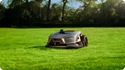
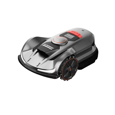
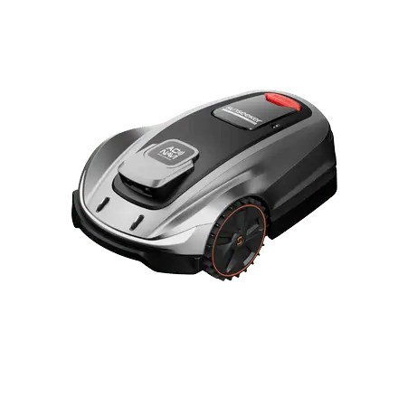
For compact, divided lawns, Sunseeker Elite X4 is worth reviewing when precise mapping around shade, borders, and narrow passages is the priority. The Sunseeker Elite X4 uses 360° 3D LiDAR with Vision AI, supports automatic 3D mapping and multi-zone management, and provides a 20 cm cutting width with a 1.6-3.2 in cutting-height range. Its current specifications also list slopes up to 45% / 24°. This combination suits yards where geometric complexity matters more than raw acreage.
Medium Yards with Slopes: Sunseeker Elite X5
A suitable current option is Sunseeker X5. The Elite X5 combines RTK-GNSS and VSLAM through AONavi and supports virtual boundaries, map editing, and multi-zone management. That mix is useful when connected mowing areas include slopes, changing sky visibility, or several route transitions. Measure the steepest working section and the narrowest passage before choosing so the mower is matched to the actual transfer route as well as the total lawn area.
Large Multi-Zone Properties: Sunseeker Elite X9
For large multi-zone properties, Sunseeker Elite X9 pairs high area capacity with navigation designed for complex work areas. Current specifications list X9 coverage up to 3 acres in 48 hours, no-limit multi-zones, AONavi 2.0 with nRTK and VSLAM 2.0, AWD/4WD, slopes up to 90% / 42°, a 17 in cutting width, and electric 0.8-4.0 in cutting-height adjustment. Those capabilities support a more organized schedule across large properties with multiple zones and terrain changes.
When Do Separate Maps Matter More Than Simple Zone Scheduling?
Zone scheduling works well when mowing areas belong to one traversable layout. Separate maps become more relevant when the mower cannot treat the property as one continuous operating space.
Separate maps matter when the mower cannot drive between two mowing areas. A side yard connected by a flat passage can usually be handled as another zone inside one map, while a lawn across stairs, a closed gate, or a different property may require a second stored map and manual relocation. Map independence also helps when boundaries and schedules are completely different. Before buying, check whether the mower can retain multiple maps, how it recognizes the active map, and whether the charging station is tied to one location. If relocation is frequent, the handoff should take minutes rather than requiring a new mapping session each time.
For more models with mapping and zone-management options, browse the robot lawn mower collection and compare map workflows before choosing.
Conclusion
The best multi-zone mower is the one that matches how the property is actually divided. Count mowing areas, measure passages, identify disconnected lawns, and confirm how maps, no-go zones, schedules, and charging work before focusing on maximum acreage. Small shaded gardens, connected sloped zones, and large multi-zone properties can require very different navigation systems. Sunseeker offers several mapping and drive approaches, giving users room to match the mower to the yard rather than forcing every layout into one workflow.
FAQs
Can robot lawn mowers do two lawns?
Yes, if the mower supports multiple zones, separate maps, or both. Connected lawns can often be linked with a virtual passage so the mower transfers automatically. Fully disconnected lawns may require carrying the mower between maps. Check map memory, charging-station rules, and the transfer workflow before assuming two separate lawns can run unattended.
Can I set different cutting heights for each zone?
That depends on the mower and app. Some systems allow zone-specific task settings, while others apply one cutting height globally. Even when height can be changed per task, avoid abrupt reductions; lowering tall grass over several sessions is easier on the turf and mower. Check the model’s current app functions before planning different heights.
What happens if the mower loses signal between zones?
A well-designed mower should slow, stop, use another navigation source, or attempt to relocalize rather than continue without confidence. What happens depends on the navigation architecture and product software. Keep transfer paths clear and map them carefully. If one passage repeatedly causes loss of position, adjust the path or improve the surrounding conditions.



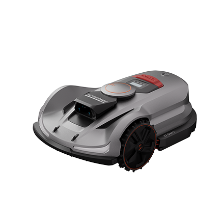
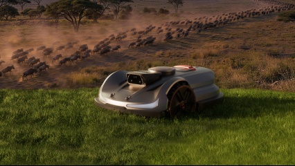
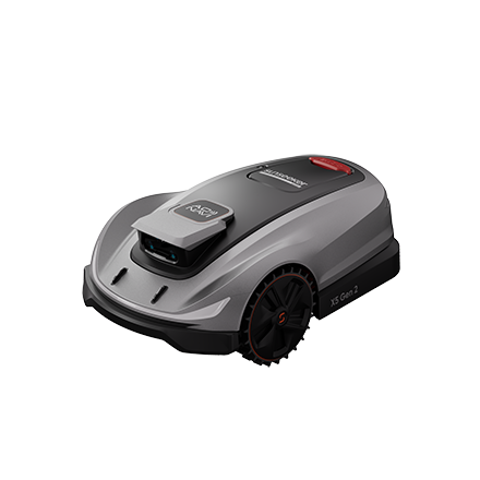

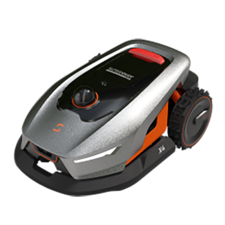







 X7 / X7 Plus Gen 2High-performance mowing for lawns up to 1.5 Acres.USD 2499 / USD 2999