A yard can look simple on a map and still challenge an autonomous mower. Mature trees block open sky, sheds create tight corridors, and curved beds leave little room for positioning errors. LiDAR can use local 3D geometry to help the mower understand these spaces without relying only on satellite reception.
The sensor name alone is not enough. Coverage, traction, cutting capacity, and map control still need to match the property. This guide connects those practical checks with LiDAR, RTK, and vision for complex yards.
What to Consider Before Buying a LiDAR Robot Lawn Mower
LiDAR can strengthen local mapping, but the sensor is only one part of the machine. Match navigation performance with the physical workload and controls your yard requires before comparing models.
Lawn Size and Rated Coverage
Compare the mower’s rated coverage with the actual mowable lawn area, not the total property size. For a 0.25 acre lawn, a model rated for around 0.3 acre provides useful headroom for charging, route changes, and seasonal growth.
Irregular shapes, separated zones, narrow passages, slopes, and dense grass can all increase mowing time and energy use. If your lawn sits close to a mower’s maximum rating, choosing some extra capacity can help maintain a more consistent mowing schedule under less-than-ideal conditions.
LiDAR Mapping Range and Localization Stability
Good LiDAR navigation needs enough stable surfaces for the mower to recognize its position repeatedly. Trees, walls, fences, hedges, and buildings can provide useful geometry, while large feature-poor spaces may give a local mapping system fewer distinct references. Check the sensor field of view, mapping method, and behavior after temporary obstruction. A stronger system should recover its location without forcing you to rebuild the entire map after every brief interruption.
Obstacle Detection and Sensor Fusion
LiDAR measures shape and distance well, but object understanding improves when a mower combines depth sensing with cameras, bumpers, or other sensors. That matters around toys, garden furniture, pets, low branches, and thin objects that may be hard for a single sensor to classify. Look for clear information on detection direction, low-profile obstacles, night behavior, and how the mower reacts when sensors disagree rather than assuming the LiDAR label covers every obstacle situation.
Slope and Traction Capability
Navigation accuracy does not help if the drive system slips. Check the maximum rated slope in both percent and degrees, then compare it with the steepest mowable section of your lawn. Rear-wheel drive can suit moderate grades, while all-wheel-drive systems provide more traction on harder terrain. Wheel tread, suspension, ground clearance, and turning behavior also matter because repeated wheelspin can scuff turf and shift the mower away from its planned path.
Boundary and Multi-Zone Editing
Complex yards often change after mapping. A useful app should let you adjust virtual boundaries, create no-go areas, assign separate mowing zones, and define safe transfer routes without remapping the whole property. This is especially valuable around temporary play areas, new planting beds, pools, and seasonal furniture. Check how many zones the mower supports and how easily you can edit a small boundary section after landscaping work.
Cutting Width and Cutting-Height Range
The navigation system decides where the mower goes; the cutting system decides how efficiently it finishes the job. Wider cutting widths are helpful on open lawns, while a more compact mower may handle tight passages better.
Also check whether the cutting-height range matches how you actually maintain your grass. A range around 0.8-2.4 in gives useful flexibility for many established lawns, especially if the height can be adjusted through the app.
Recommended LiDAR Robot Mower for Complex Residential Yards - Sunseeker Elite X4
For residential yards with trees, buildings, narrow passages, or several separate lawn sections, reliable mapping matters just as much as cutting performance. A mower also needs enough traction and flexible zone control to handle everyday changes around the yard.
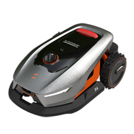
The Sunseeker Elite X4 combines 360° 3D LiDAR with Vision AI for automatic mapping and navigation without perimeter wire. It is suited to lawns up to about 0.3 acre and uses rear-wheel drive to handle slopes up to 45% / 24°.
Its 7.9 in cutting width keeps the mower compact enough for tighter residential layouts, while the 1.6-3.2 in cutting-height range covers regular lawn maintenance. Multi-zone management and virtual no-go areas also make it easier to manage separate lawn sections or temporarily protect parts of the yard.
LiDAR vs RTK vs Vision: Which Yard Conditions Favor Each?
These navigation methods solve different positioning problems. Yard geometry, sky visibility, lighting, and property scale determine which source of location information is most useful at a given moment.
Dense Tree Cover and Buildings
LiDAR has a practical advantage in areas where local 3D structure is abundant but the sky is partly blocked. Buildings, trunks, fences, and other fixed features can help a LiDAR-SLAM system localize without needing continuous satellite correction. Vision can also contribute useful landmarks, though changing light and repeated textures may reduce consistency. RTK can still work near trees, but dense canopy and walls can weaken satellite visibility or create reflected signals, so local sensing becomes more valuable.
Large Open Lawns
RTK is well suited to broad lawns with a clear view of the sky because satellite positioning can provide consistent absolute coordinates over large distances. A local LiDAR map may need fewer nearby geometric references in a feature-poor field, while pure vision can struggle when long stretches of grass look similar. On expansive properties, check coverage capacity and correction availability together; a navigation method that performs well still needs enough battery, charging speed, and cutting width for the area.
Mixed Yards With Changing Positioning Conditions
Mixed properties benefit from sensor fusion because no single positioning source stays equally strong everywhere. The Sunseeker Elite X9 uses AONavi 2.0 with Network RTK satellite positioning and VSLAM 2.0, while its 360° OmniSight system adds scene awareness around open areas, trees, hedge edges, and narrow passages. This hybrid approach is useful when satellite positioning is strong in one zone and visual localization provides extra context in another. The X9 is rated for up to 3 acres within 48 hours, pairing that navigation approach with capacity for much larger grounds.
How to Get Better Results From a LiDAR Robot Lawn Mower
Reliable mapping comes from repeatable sensor views and a map that still matches the yard. A few simple setup and maintenance habits help preserve that consistency during everyday mowing.
Keep the Sensor Window Clean and Unobstructed
Dust, dried grass, pollen, and water spots can reduce the quality of LiDAR or camera data. Inspect the sensor window regularly, especially after mowing dry soil edges or dusty paths. Use the cleaning method in the mower manual and avoid abrasive materials that can scratch optical surfaces. Also keep decorative covers, tall grass, or accessories away from the sensor field of view. A clean sensor helps the mower compare current surroundings with its stored map more consistently.
Build the First Map With Stable Yard Conditions
Create the initial map when the lawn is easy to read: gates open as they will be during mowing, large movable objects cleared, and permanent boundaries visible. Avoid mapping during active landscaping or while temporary equipment blocks major passages. Walk the yard first and identify narrow connections between zones. A clean first map gives the mower a better reference for later localization and reduces the amount of editing needed after setup.
Recheck Boundaries After Major Landscaping Changes
A digital map should change when the physical yard changes. Recheck virtual boundaries after adding a shed, widening a flower bed, installing a playset, moving a fence, or changing a transfer path between lawn sections. Small seasonal changes usually need only routine observation, but permanent geometry changes can alter the landmarks a mapping system uses. Updating affected zones early helps keep mowing paths aligned with the lawn that actually exists.
Conclusion
A strong LiDAR mower combines stable local mapping with the coverage, traction, cutting range, and app controls your yard needs. LiDAR is especially useful around fixed features and limited sky view, while RTK is efficient across open ground and hybrid systems add flexibility as conditions change. For established grass that needs regular upkeep, choose a platform that can keep its map accurate as the property evolves. You can also explore Sunseeker’s robot lawn mower range to compare navigation styles and lawn capacities for different yard layouts.
FAQs
What is a LiDAR robot mower?
A LiDAR robot mower uses laser-based distance measurements to build or update a 3D representation of its surroundings. The mower can use those geometric features for localization, route planning, and obstacle awareness. Many current models combine LiDAR with cameras, bumpers, or AI processing so the navigation system does not rely on a single sensor.
Is LiDAR better than RTK for a robot mower?
LiDAR is often useful near trees, buildings, and other places with strong local geometry but weaker satellite visibility. RTK is highly effective on large open lawns with a clear sky view and correction service. A hybrid system can be more adaptable across mixed conditions because it can use more than one source of positioning information.
Do LiDAR robot mowers work at night and under trees?
LiDAR itself emits laser light, so distance sensing does not require daylight in the same way a standard camera does. Actual night performance still depends on the mower’s full sensor package and software. Under trees, LiDAR can use nearby geometry for localization, but dense foliage, moving branches, or limited features can still affect individual systems.



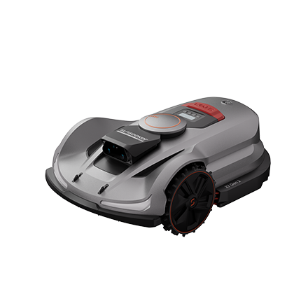
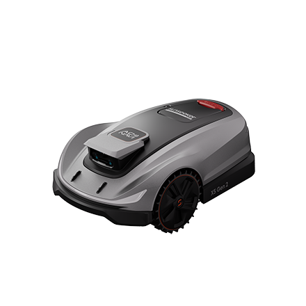
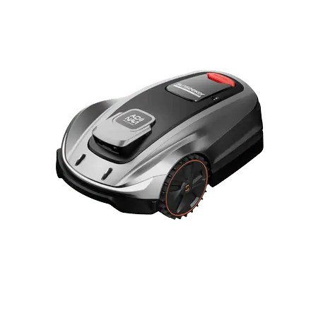
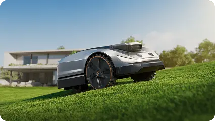
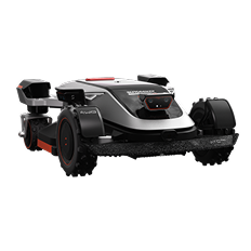
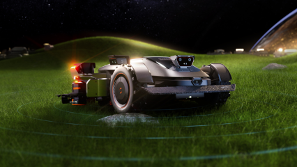
 X7 / X7 Plus Gen 2High-performance mowing for lawns up to 1.5 Acres.USD 2499 / USD 2999